


OUR ROUTE FOR DAY 3
The third day of our cycle tour around Bavaria was the day I wasn't looking forward to. It was billed as a 50k circular ride, which to me seemed pointless and a little bit too far. It didn't help that the cycling notes said there were more "ascents and descents" today - I was fine with the going down bit, but we all know what goes down must also go up, or something like that...
However after arriving at the very nice hotel in Bad Bayersoien the night before and having a rather large and lovely meal in the restaurant I reconsidered and maybe some cycling wasn't such a bad plan after all. And you know what I was quite getting into this holiday cycling lark.
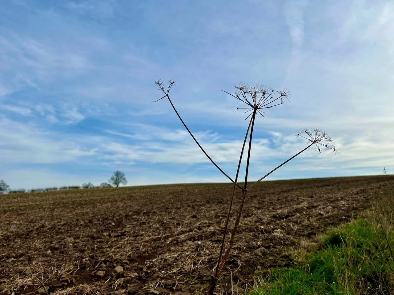
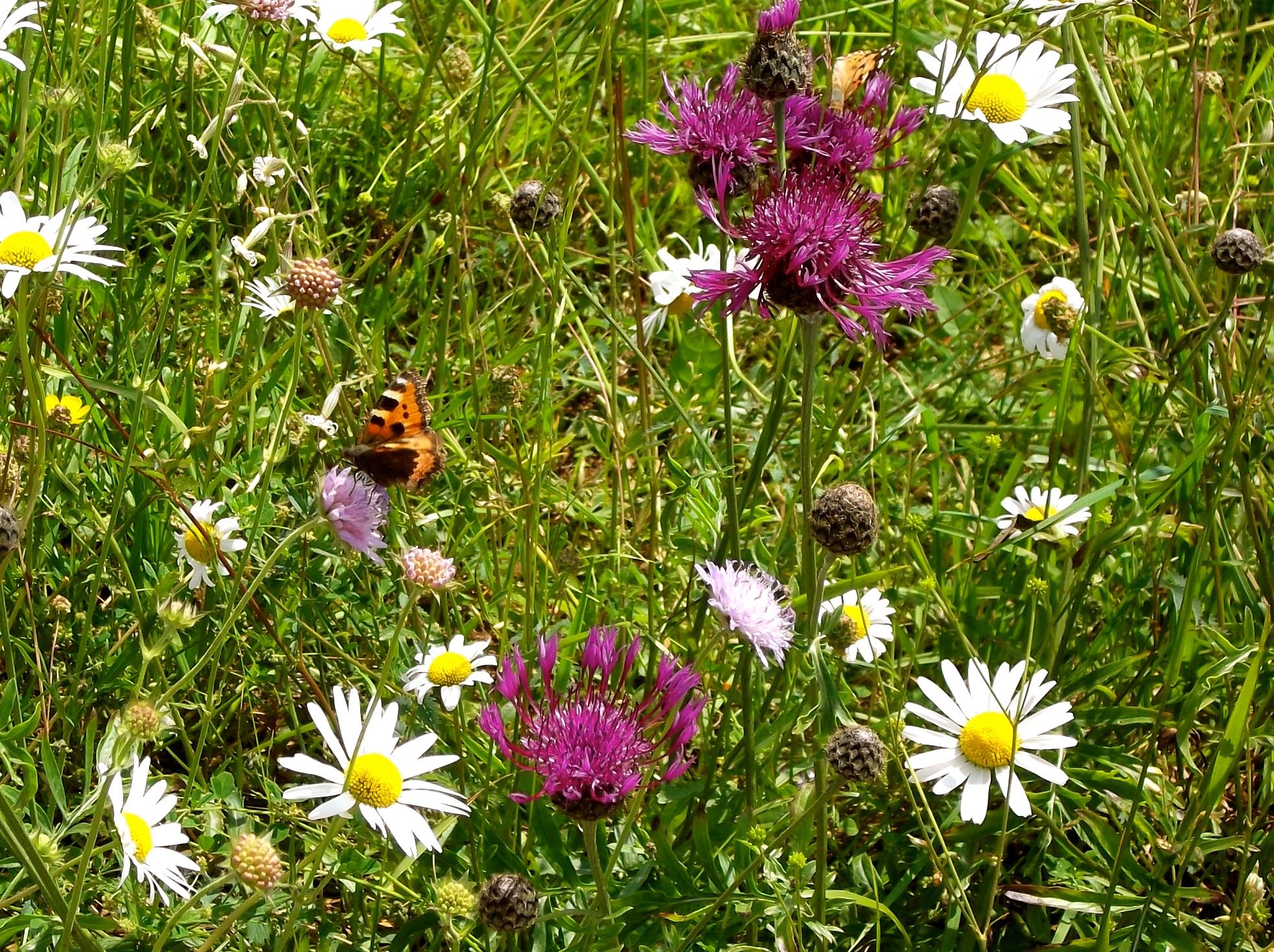
Our route today, as well as being more hilly would also take us north and through the unspoilt countryside and green meadows of the Pfaffenwinkel. That's a great word isn't it? Pfaffenwinkel. It's this name for this corner of the Allgäu and refers to the large number of churches, convents and monasteries in the area.
We'd also be passing small pastoral hamlets and wooded areas and we were supposed to skirt a handful of small lakes - somehow though we missed these. Either they were very small, it had been very dry or we took another wrong turning somewhere. Yes probably the latter!
After helping ourselves to a legitimate packed lunch from the breakfast buffet we collected our bikes from the hotel garage and set off along the way we'd arrived at the hotel the previous day, over the Echelsbacker Brüke and on into Rottenbuch. Our cycling notes said it was a pretty town and if we didn't have all those kilometres in front of us I'd've been tempted to stop. But we did, so we didn't.
OUR FIRST SUNTAN LOTION STOP
The weather had improved quite a bit overnight too, and today was the first day we needed suntan lotion. Result. Or not, when you've got a 50k ride ahead of you. So it was time to stop and slap on some Factor 50. Not a bad place for a suntan lotion stop.
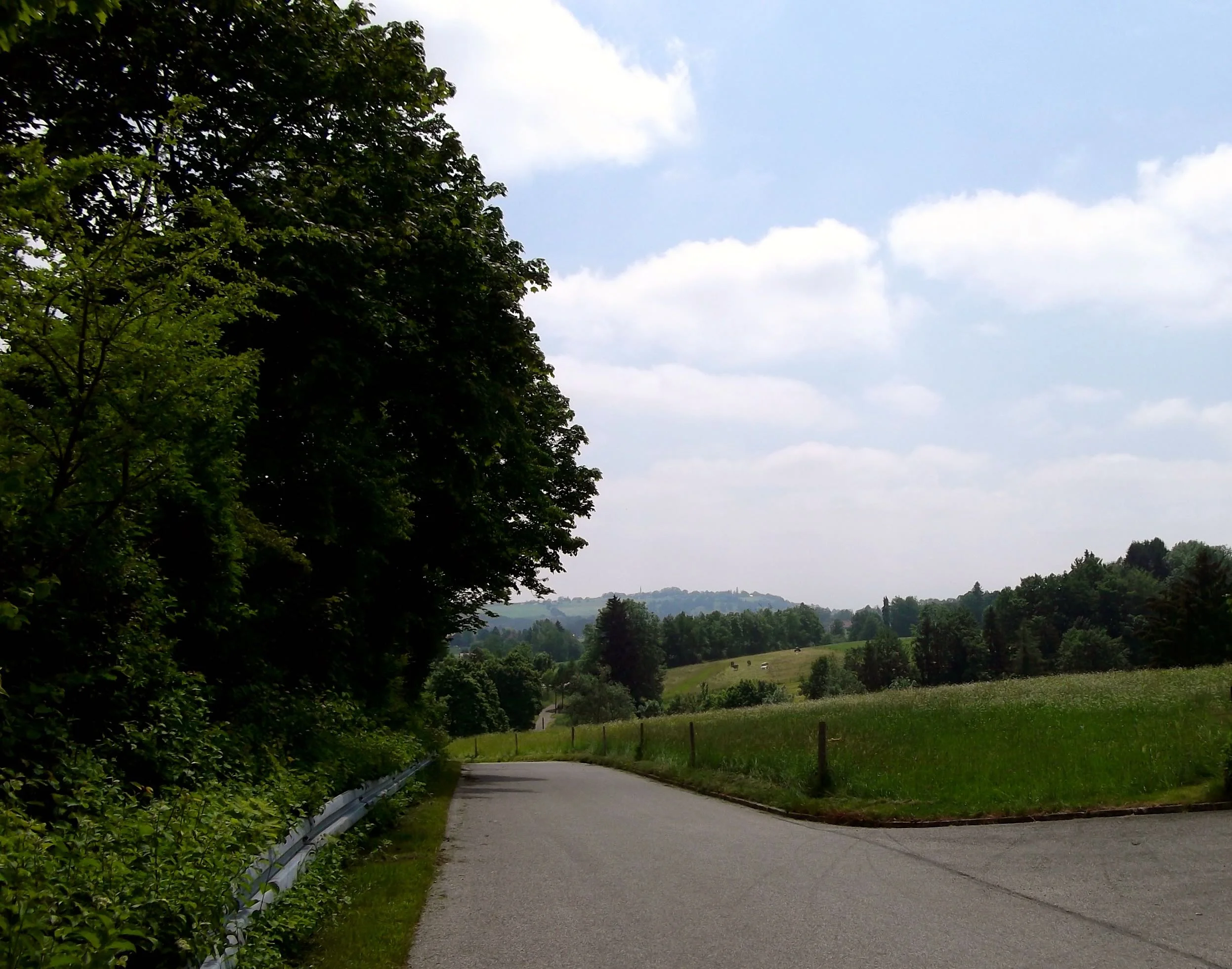
It was also a bit of a day for tunnels, and tunnels under the roads - or subways as we'd call them, but smaller and more rustic. I lost count of the number of times we went through these corrugated iron clad tunnels, but they were quite an experience and you never quite knew what you was going to find coming the other way.
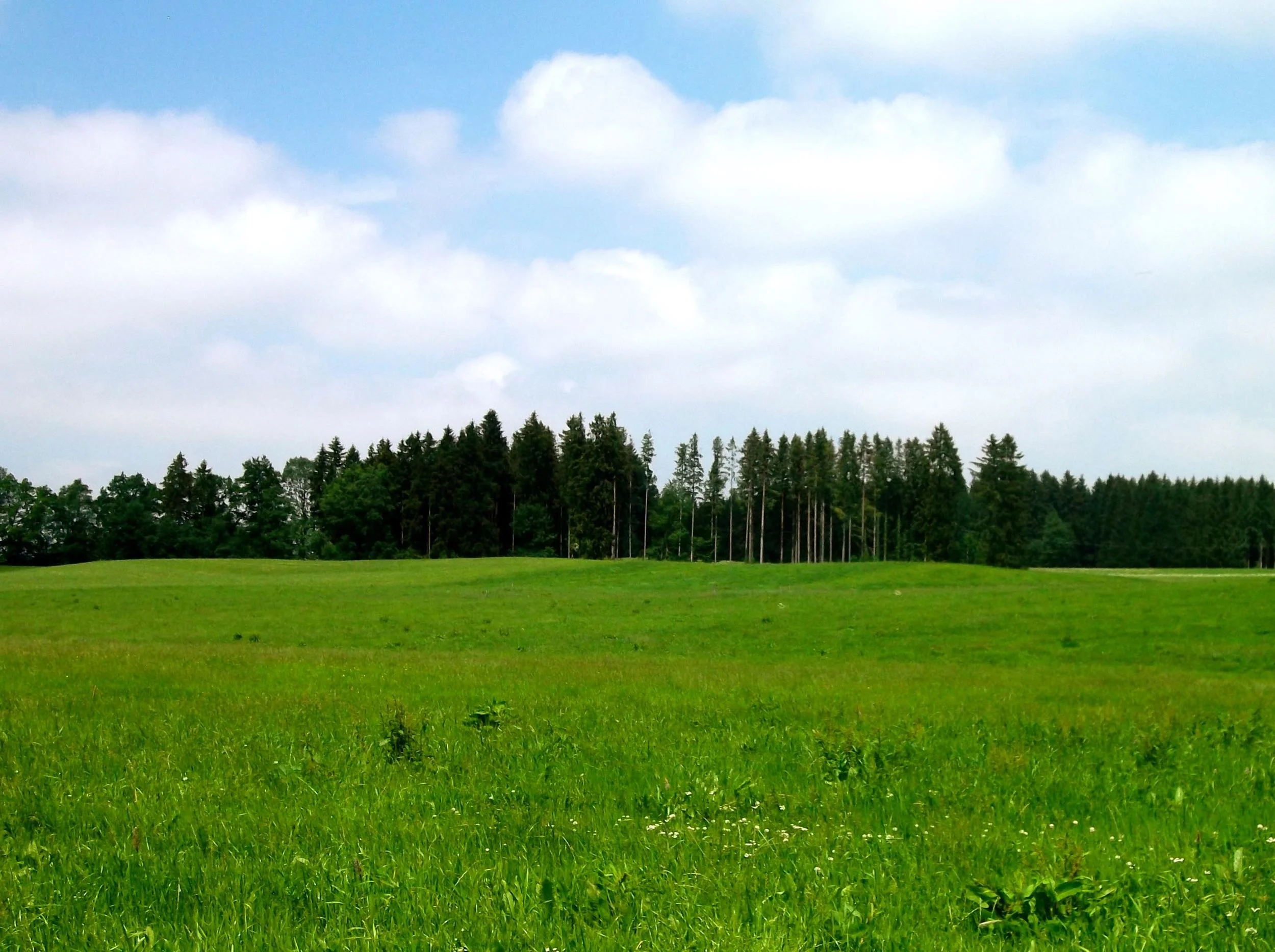
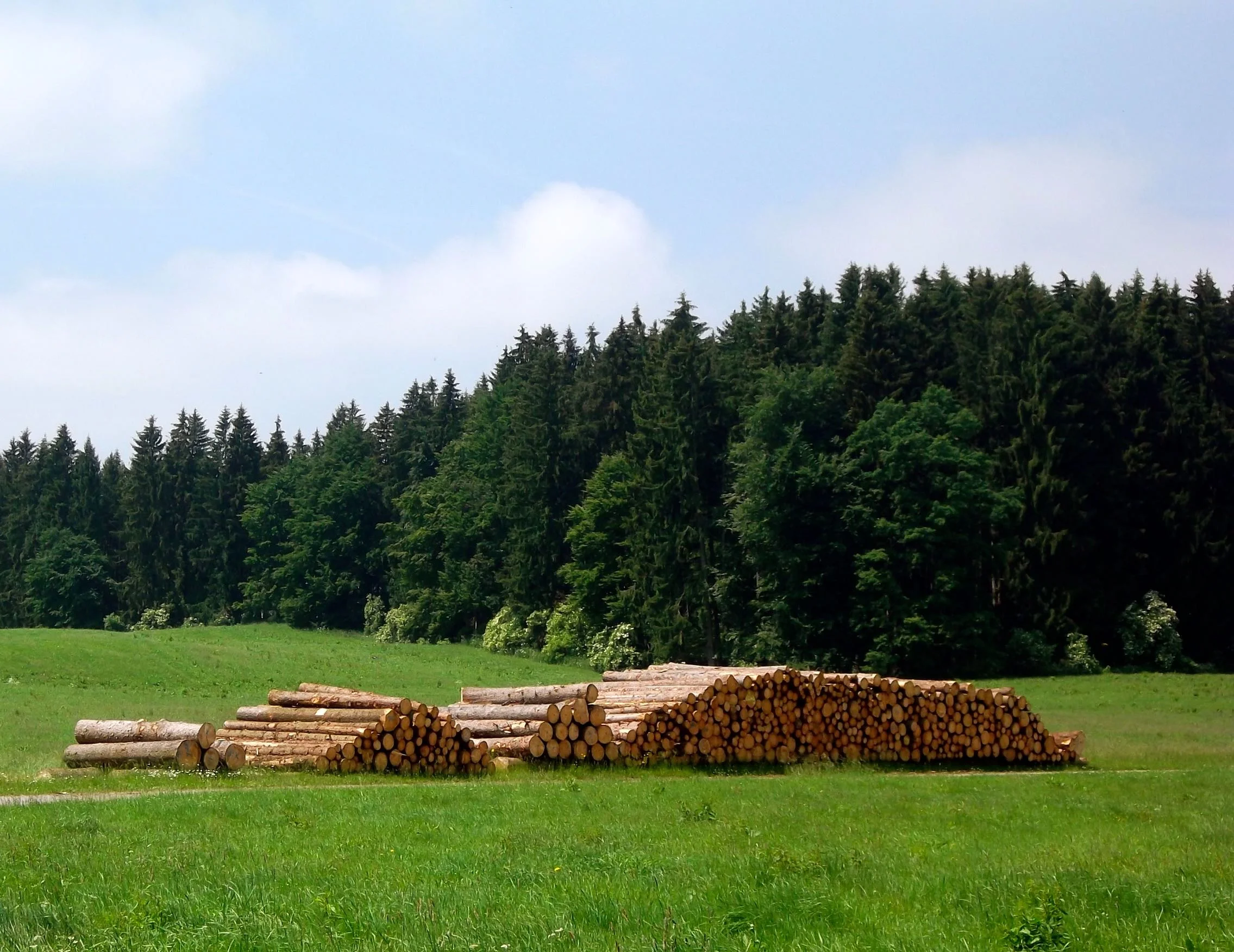
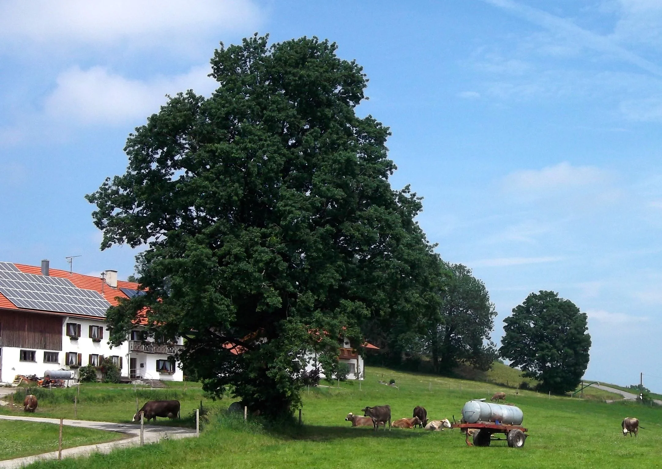
With the tunnels behind us we found ourselves in this idyllic green space with only a few houses and lots of piles of logs - they're becoming a recurring theme on this trip!

We cycled on following the path, but not spotting the lakes the cycling notes mentioned. With no other obvious track to follow we carried on until we came to a small farm and a T-junction. After much consulting of the cycling notes and lots of looking both ways we opted to turn right and hoped for the best.

We soon cycled through a village not mentioned at all in the notes. We took that as a clue that we were going the wrong way and paused here with this view to consult the notes and turn on our technology again.
After getting spectacularly lost yesterday we'd resolved to check our location sooner if it happened again. I don't think either of us thought we'd be doing that so soon. You can see where we went off track on the route map above, that line heading west out on a limb.

Heading back the way we came we cycled onto the village mentioned in the notes and phew, we were back on track.
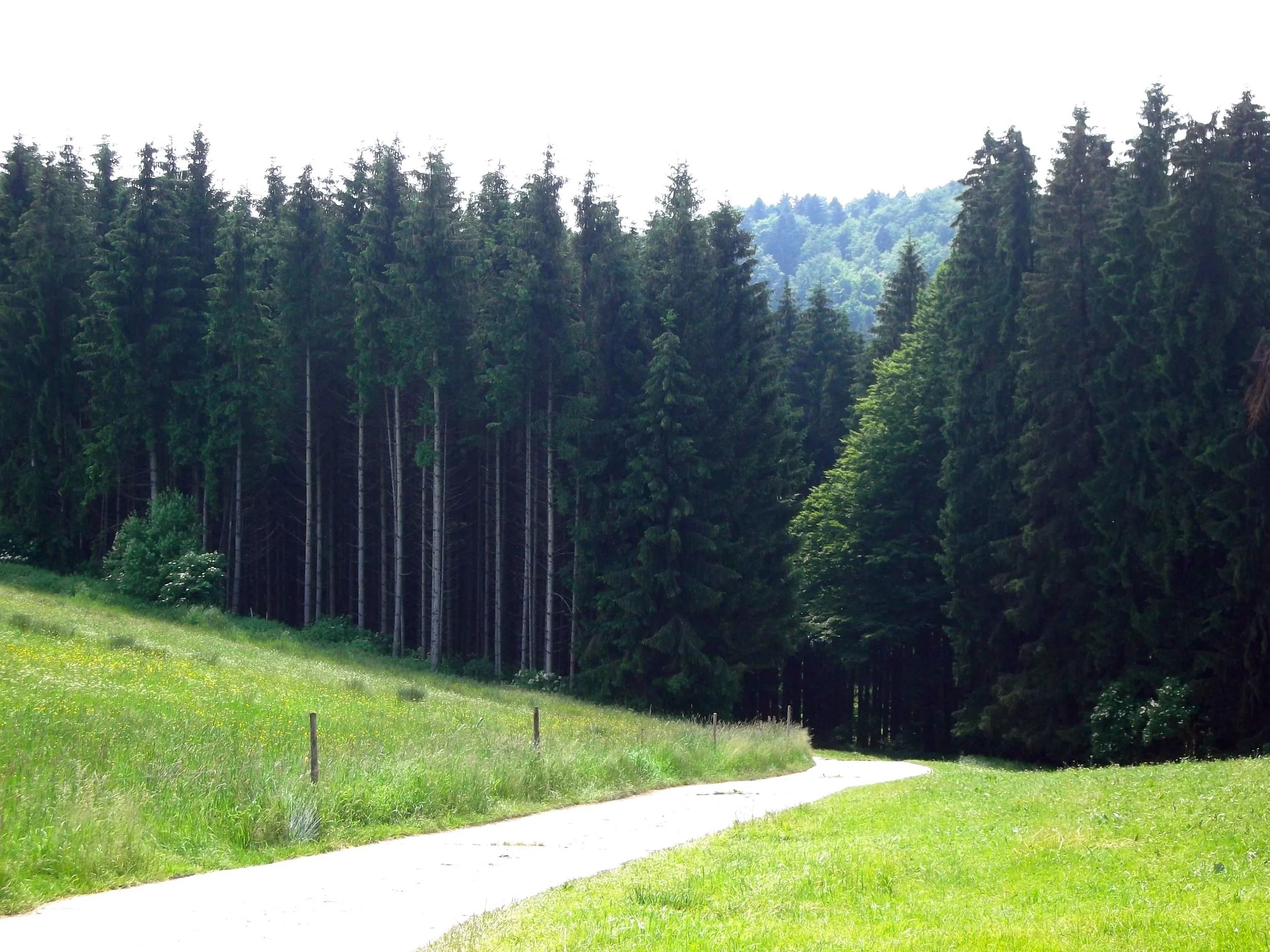
The notes were right, there were more hills today. Some were up. And thankfully some were down. MOH's highlight of the day was the very steep section out of the forest which was steeper than I was expecting and so was in the wrong gear. Coupled with the fact that I didn't need my sunglasses on and hadn't had a chance to remove them meant I walked this one. I was glad though as it was steep even walking up it.
The downhills were good though, sometimes I even let go of the brakes!
WOOHOO! IT'S DOWNHILL!
On the way back to the hotel we stopped at the Echelsbacher Brüke and took some pictures of the bridge that crossed the Ammer River and no doubt saved us plenty of cycle miles. It was built in 1929 and is 76 metres above the river. It's also the largest single span concrete bridge in the world.
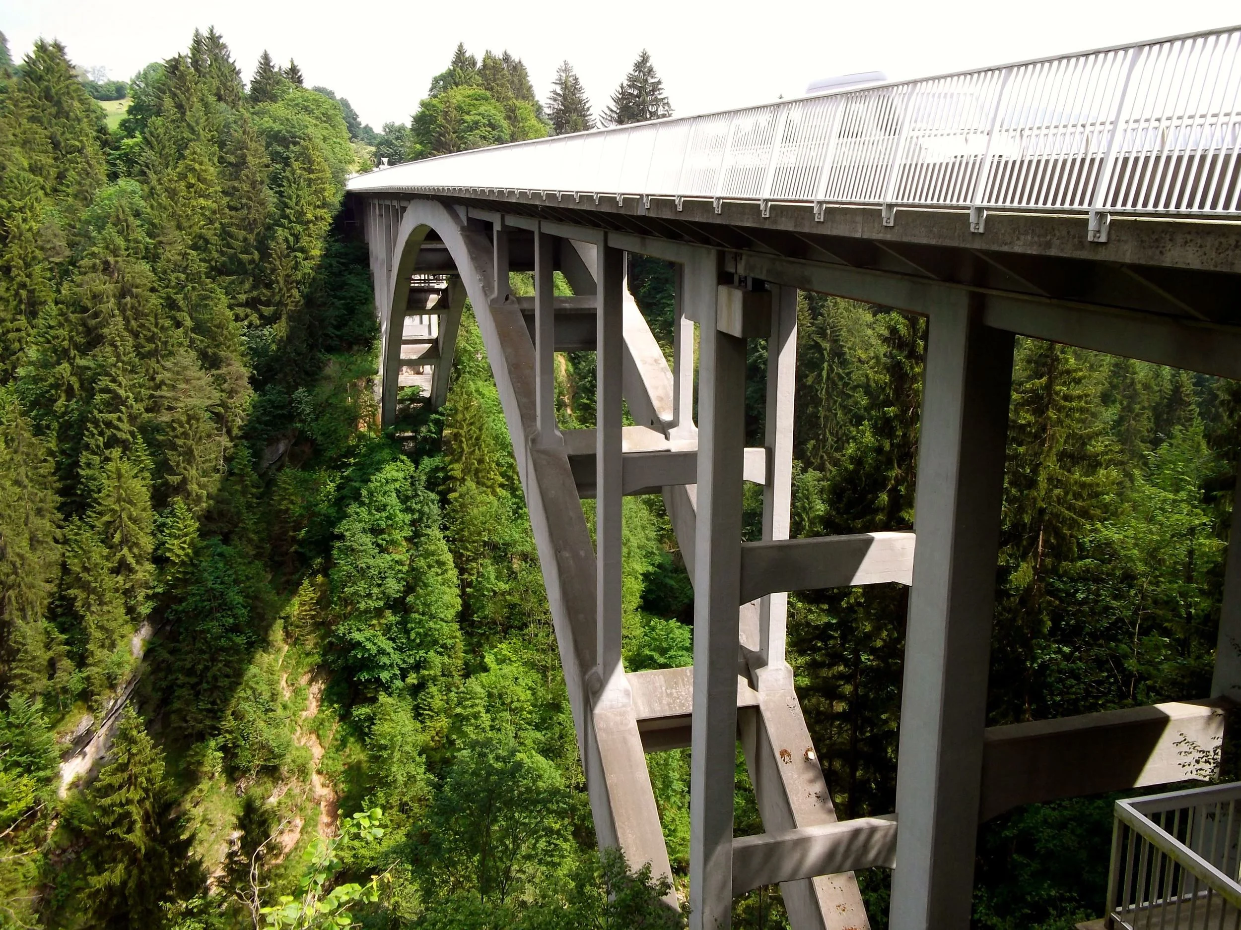
THE STRIKING ECHELSBACHER BRÜCKE
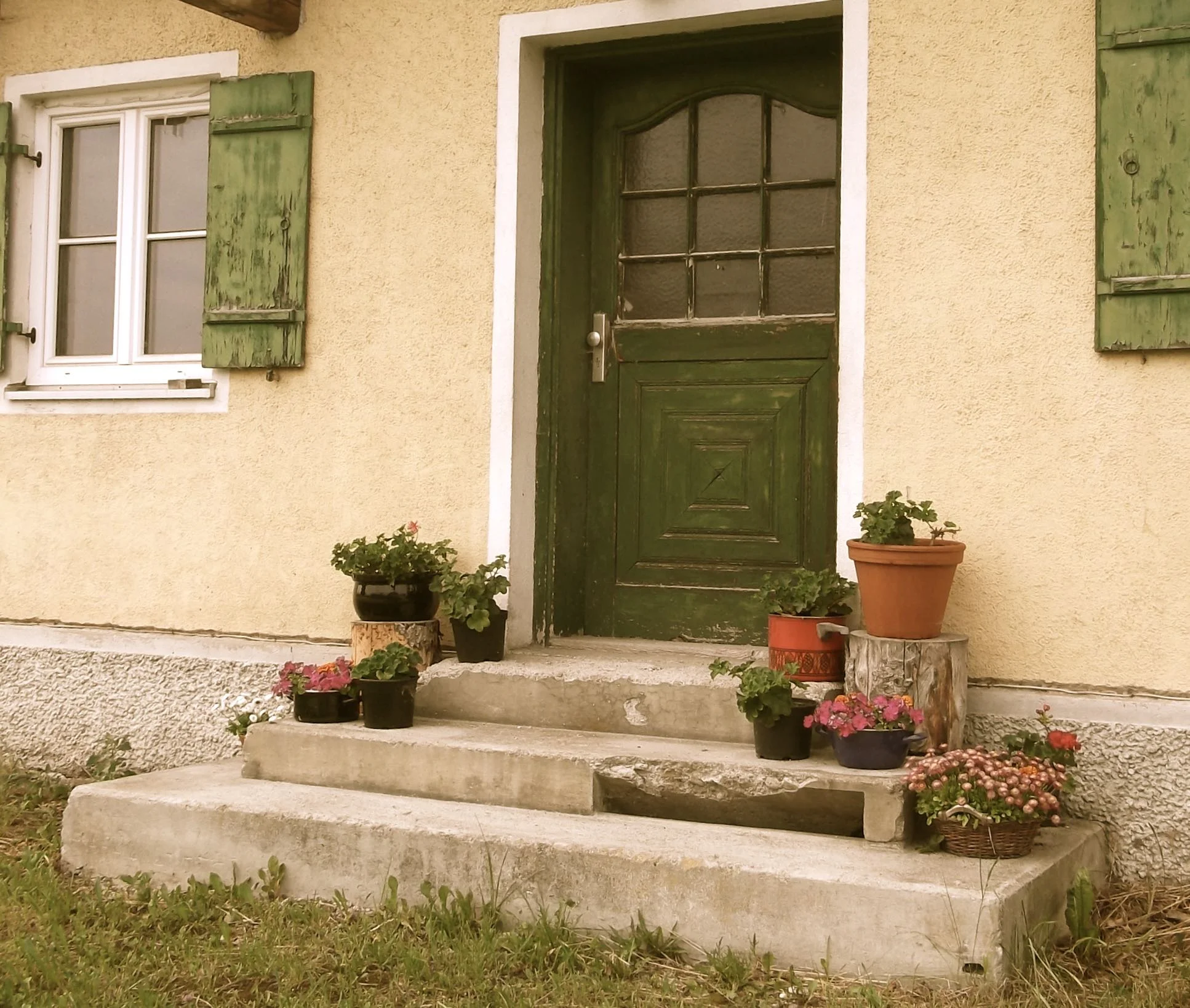
I made a couple of photo stops on the now familiar route back to the hotel. I loved the shutters on this house but it was the saucepans and pots of plants on the steps that really caught my eye.
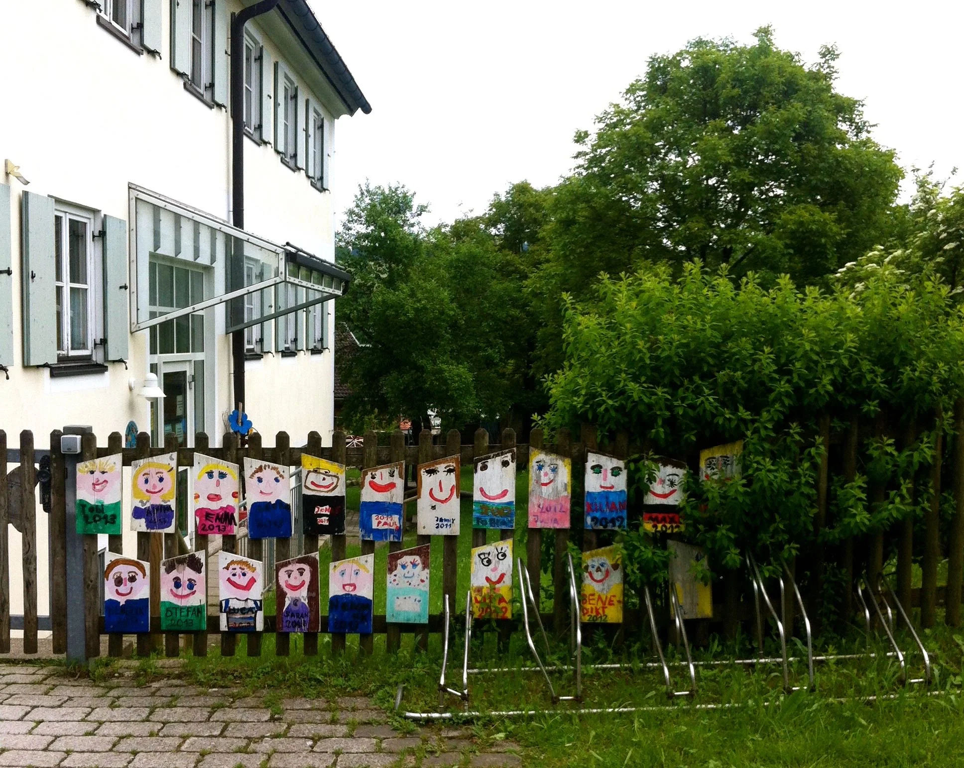
And outside the kindergarten in Bad Bayersoien these cycle and scooter racks looked so cute. It also underlined how engrained cycling is in the culture here, something we've moved away from at home.
Just look at the colour of the sky when we got back to the hotel. Beautiful. There was only one thing for it and that was to sit out on the terrace with a bottle of sparking wine and celebrate our eighth wedding anniversary from earlier in the week.
And to try and work out how the 50k day actually turned out to be only 43.6km even with that slight detour. And where those lakes got to!
So the stats:
Scheduled cycle distance: 50km
Actual distance recorded: 43.6km
Cumulative distance recorded: 134.3km
Times Google Maps consulted: 1
Shortcuts taken unknowingly: 1
Number of glasses of sparkling wine consumed: more than one!