


I’ve been contemplating a new monthly series to share more about the countryside where we now live since we moved here last July, but starting in January appealed for its neatness, though as you’ll note it’s most of the way through February now so it’s taken me a little while to percolate my thoughts and come up with a plan for this new series, and not unsurprisingly edit the photos!
It’ll also be a way for me to learn about where we live, and see how it changes throughout the year - moving from London to the country has already been a big learning curve in so many ways, and it’ll be great to have clarity about things (almost) as they happen, so expect a photo heavy post.
But anyway, in the short time we’ve been here we’ve already found some walks from our doorstep heading off out of the village in various directions - and it’s from our walks along these lanes that I’ll share pictures from.
We started our New Year with a walk that was very different to that of the past twenty or so years. No Greenwich Park for us this New Year’s Day, instead we headed down towards the River Trent, though it felt like the Trent had come up to meet us given all the water following even more rain.
CHURCH LANE
Dodging the puddles was easier than normal as hardcore had been added in many places making it much easier than previously - still a lot of water though, and I made the most of the photo opportunity with the reflections of the trees.
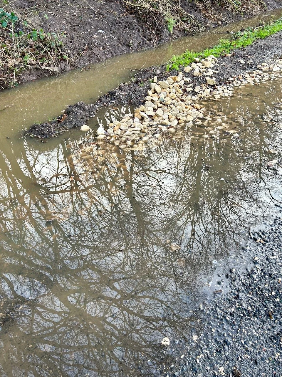
CHURCH LANE
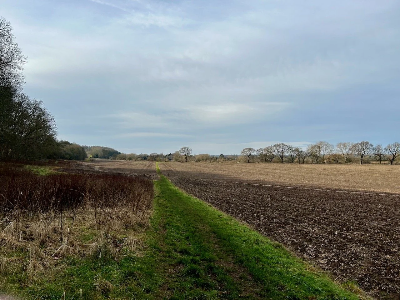
It was too wet to head across the Red Gutter so instead we continued along Church Lane towards the Trent walking on what looked to be even more freshly laid hard core - we’ve walked this way since and it has bedded in much more and makes it a much more comfortable walk.
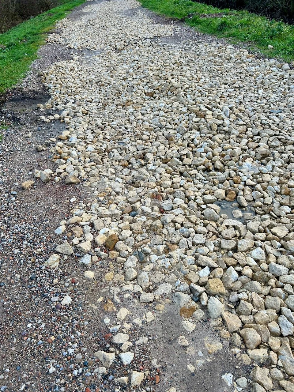
CHURCH LANE
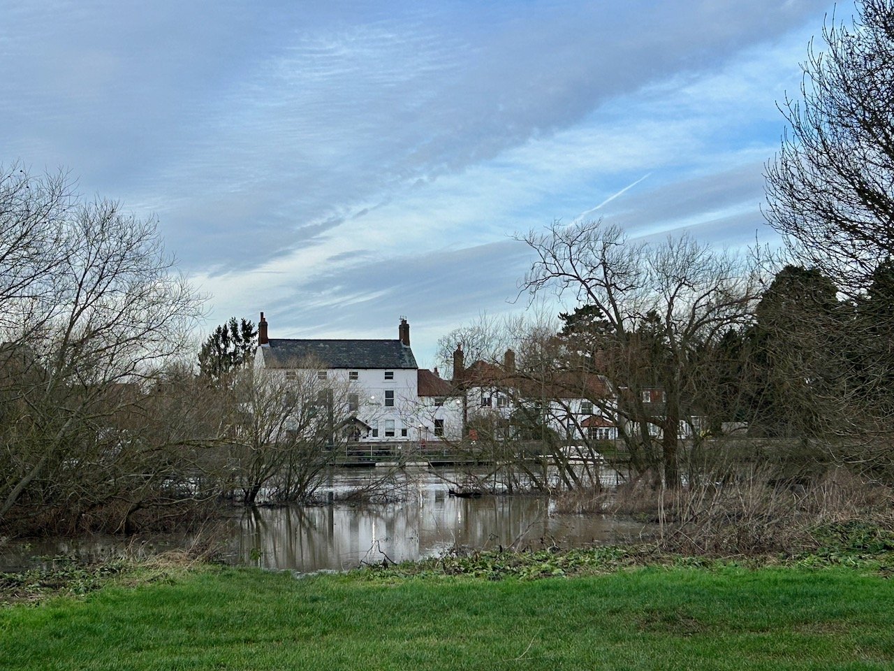
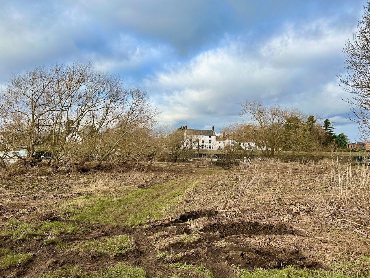
LOOKING OVER TOWARDS FISKERTON
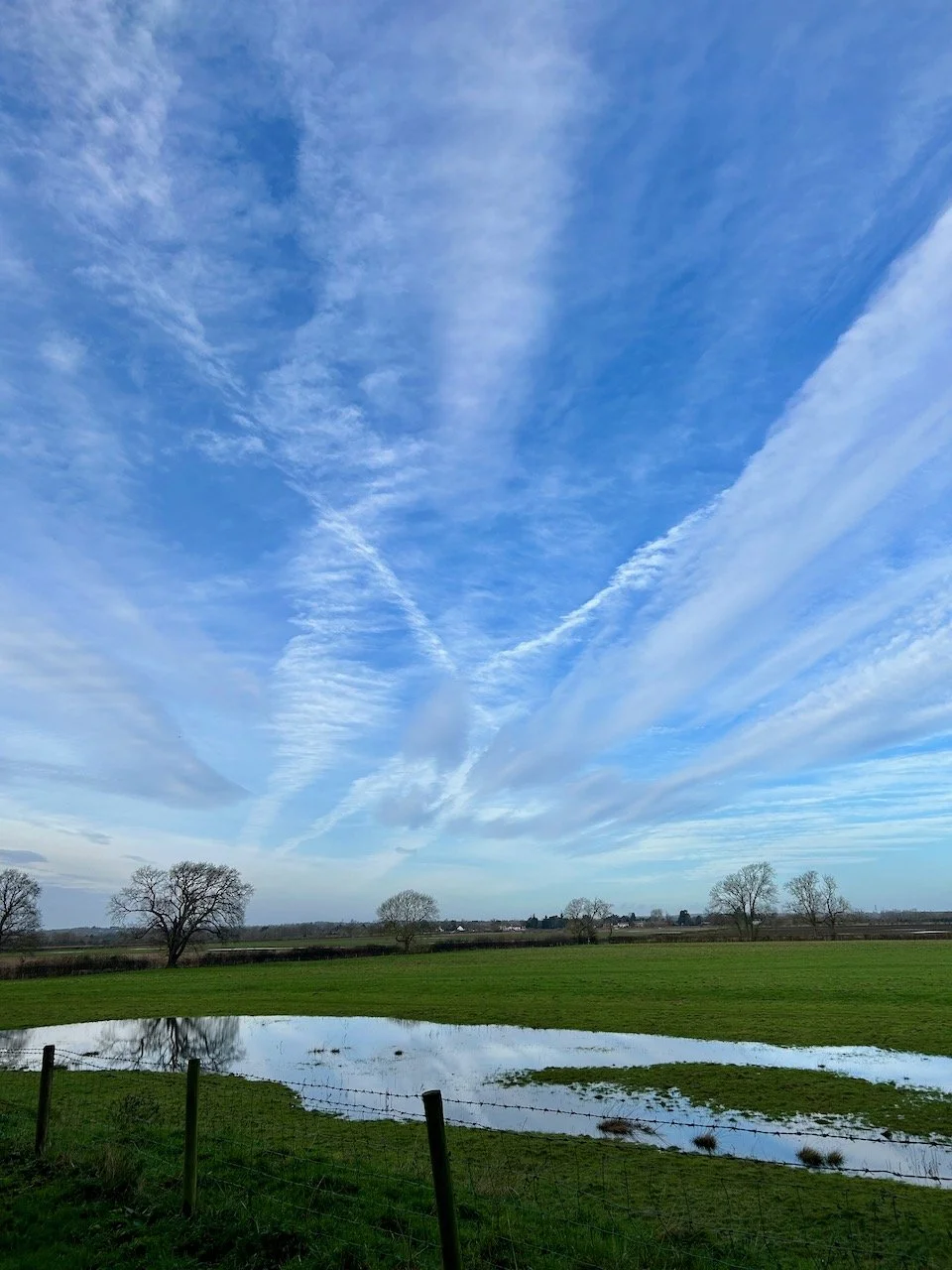
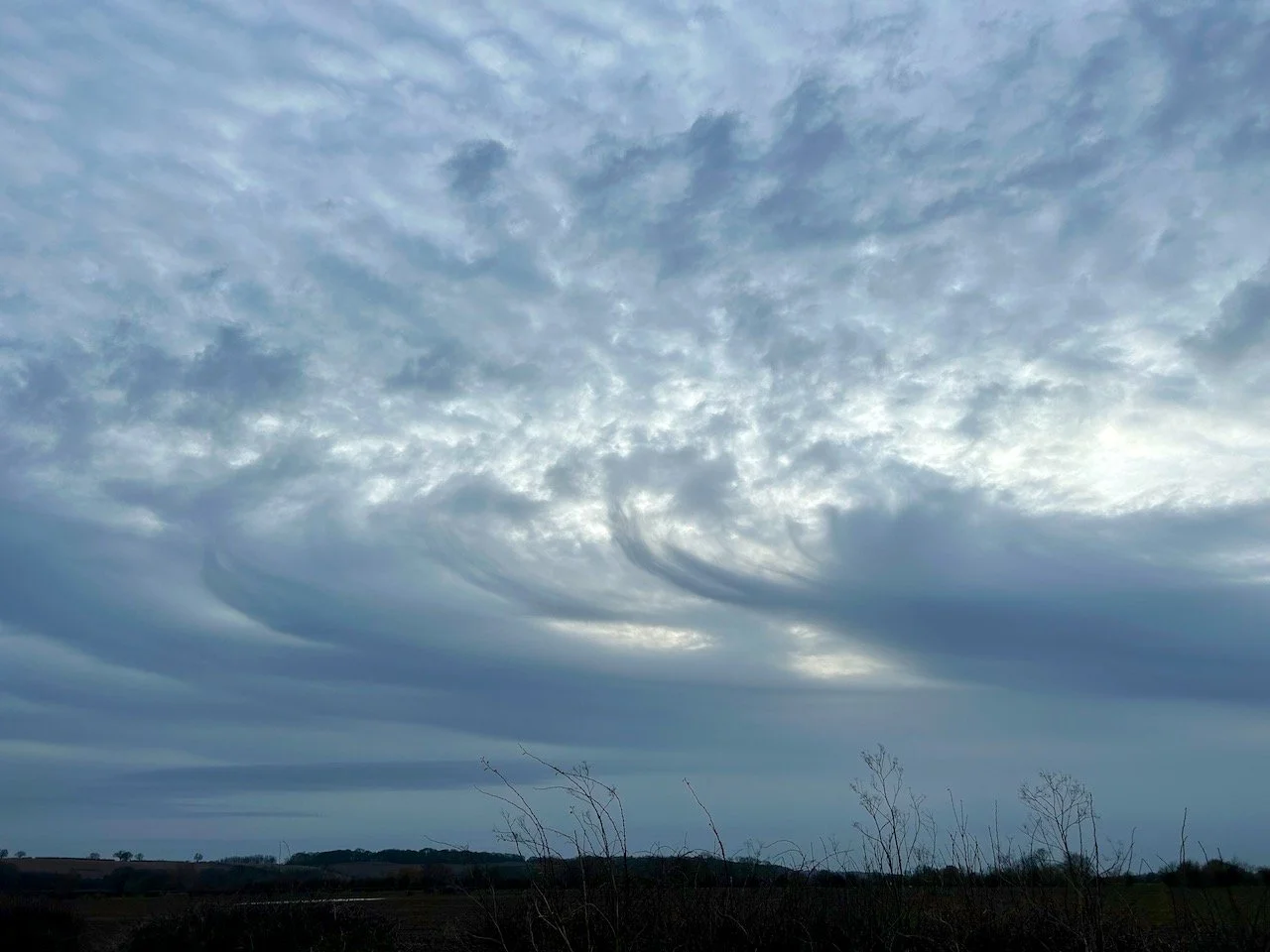
We didn’t get to the river pathway, there was too much water - as you can see in the photo above, the river was way over where it would normally be - definitely a case of the water having nowhere to go other than the flood plain. Heading back the way we came, the skies treated us to quite a display.
A couple of weeks later we headed back along the same route, and it was good to see the water had receded even though the ground was still ‘soft’ - not being much of a fan of mud I didn’t get quite as close as before for the photo. And yes, I had walking boots on, and I’m much better with mud when wearing those - I just prefer not to if I don’t have to!
LOOKING OVER TOWARDS FISKERTON TWO WEEKS LATER
The start of the month was wet, and the rain didn’t stop coming so the lanes got wetter and wetter. The water was running off the fields, and over the ditches which were already full - it had nowhere else to go and so the lanes became waterways briefly, as this picture taken by MOH shows.
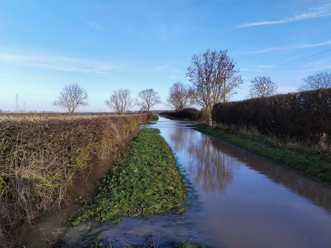
MOOR LANE
And taken by MOH as I wasn’t heading out for any of that. I was persuaded out on 7 January when the lanes were clearer of the excess water, but the fields were still pretty full.
MOOR LANE
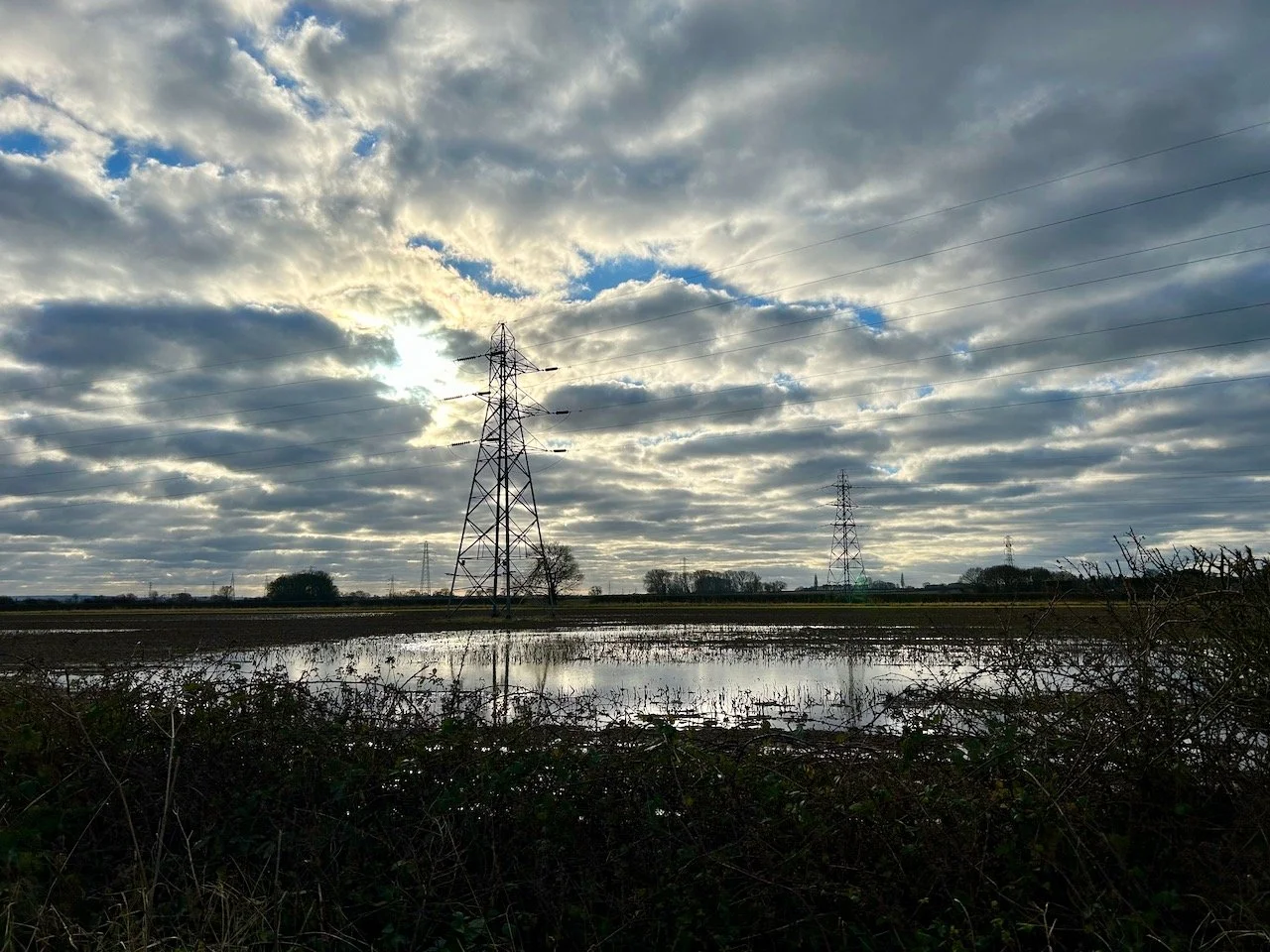
We walked to the bridge - our cut off point for turning round - but also partly to see the water levels there. Our unqualified expert view was high.

MOOR LANE
MOOR LANE
It wasn’t all doom and gloom though, the bushes on the roadside nearer to the bridge over the A46 had the most glorious lichen which was catching in the sun - and you know how much I like some lichen!

It wasn’t until almost the end of the month that I deemed the Red Gutter not too muddy to walk - I’m sure plenty of less-mud averse people walked it throughout the month, but not me.
THE RED GUTTER
The Red Gutter is a circular walk I’ll no doubt share more about here over the year, but in summary it’s where the last battle of the Wars of the Roses took place in 1847, and according to legend got its name hundreds died here attempting to escape being slaughtered at the end of the Battle of Stoke Field.
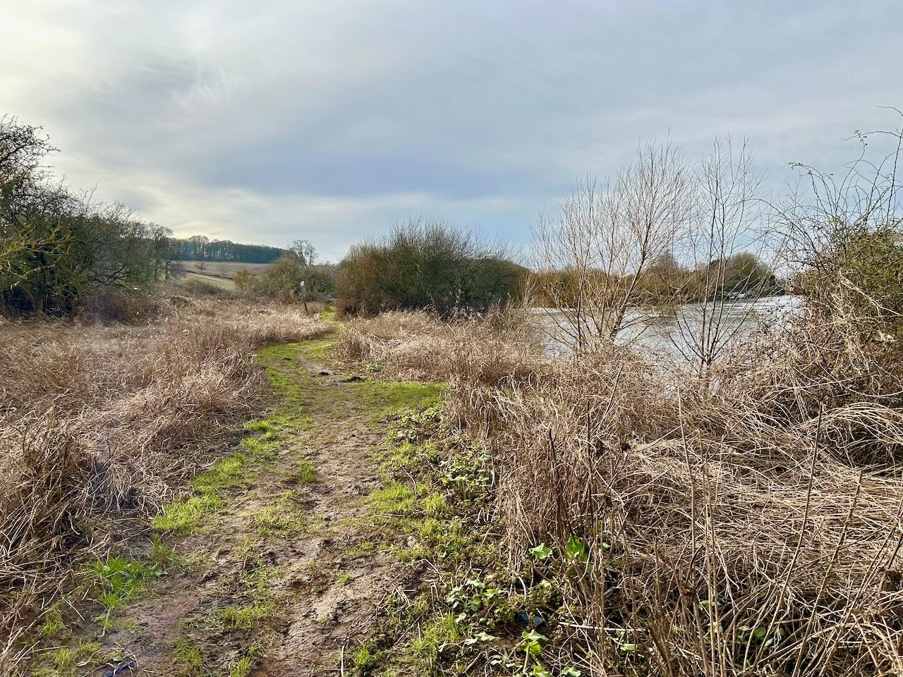
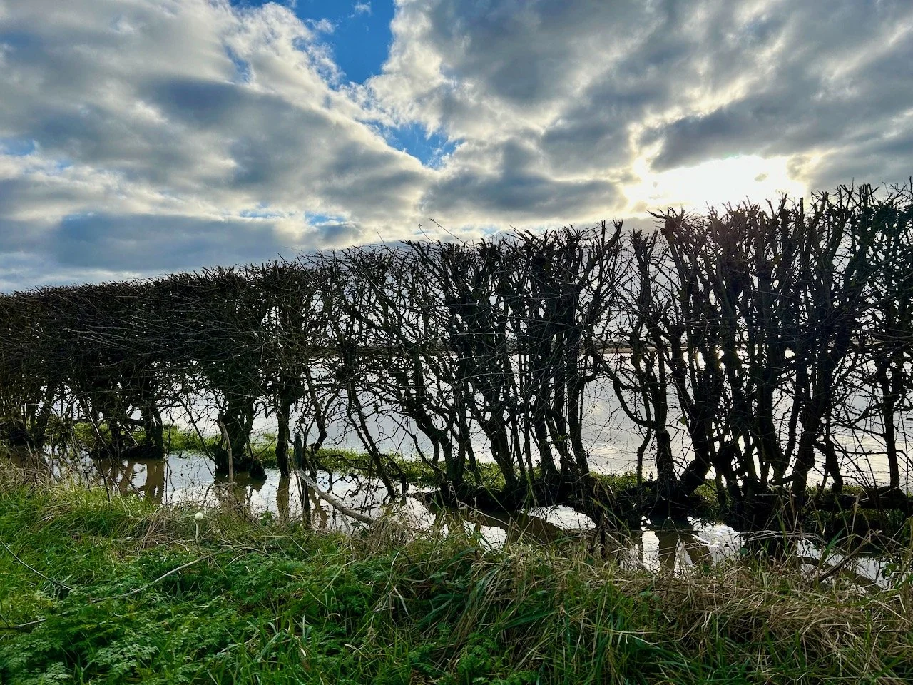
ALONGSIDE THE TRENT
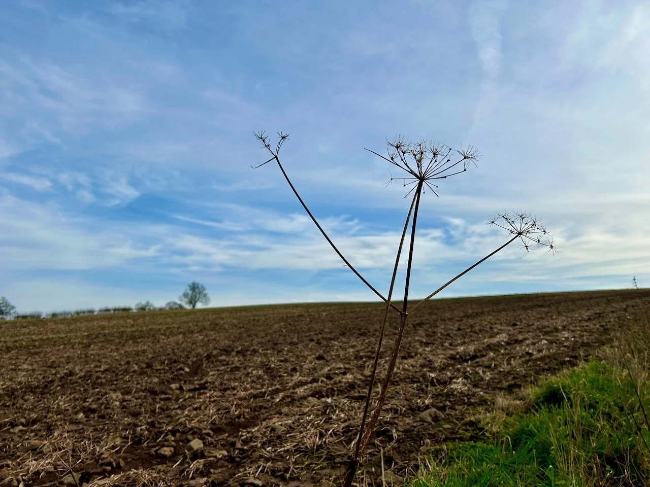
Walking across the field leads to a footpath alongside the River Trent, which as you can see was a little more ‘soft’ going - but it’s not far and we were soon at Trent Lane. It’s uphill from there, and this partial seed head provided a good opportunity for a photo and a short break to catch our breath.
TRENT LANE
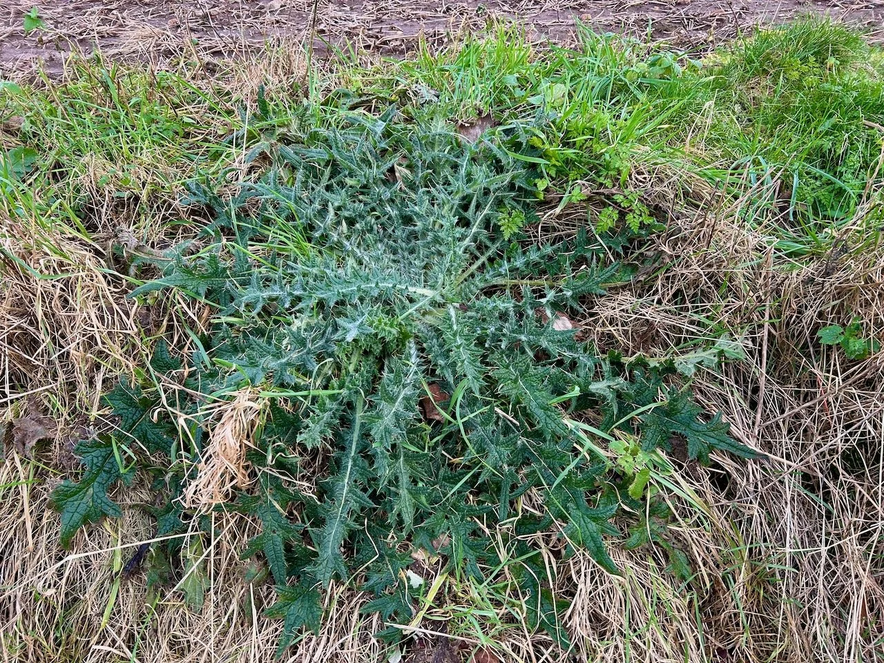
TRENT LANE
It’s also where I spotted what could possibly be a contender for the largest thistle in the world. Probably.
Thanks for joining me this month, I’ll be sharing the next instalment around the same time next month, but in the meantime if you enjoyed this post you may also like some previous series where I revisit the same place - there’s my year in Greenwich Park and remember that time when I followed a tree?